

Graphically
enhanced version
of the [Windler Award-winning] paper published in
Castanea,
Vol. 66 nos. 1-2, pp. 154–205
(March/June 2001)
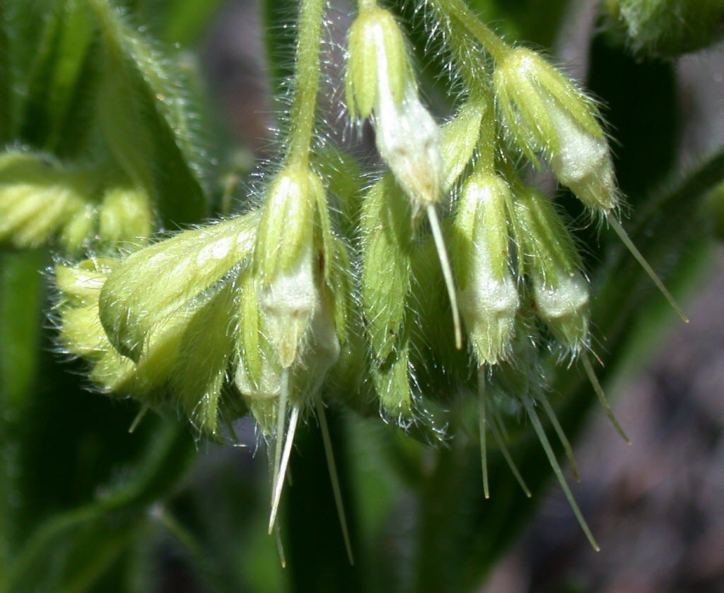
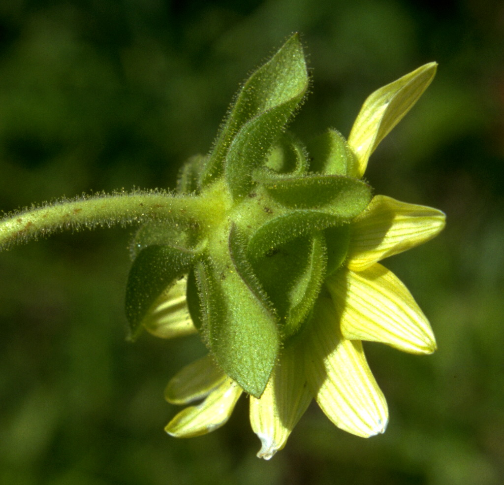
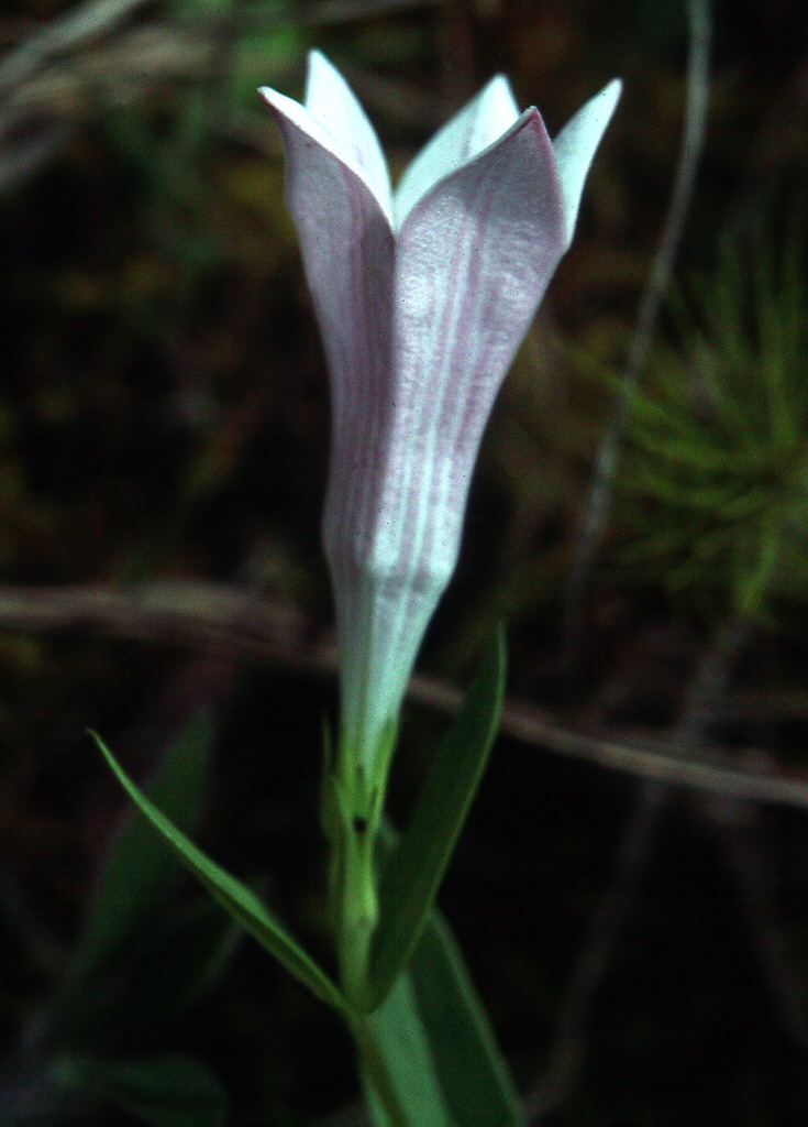
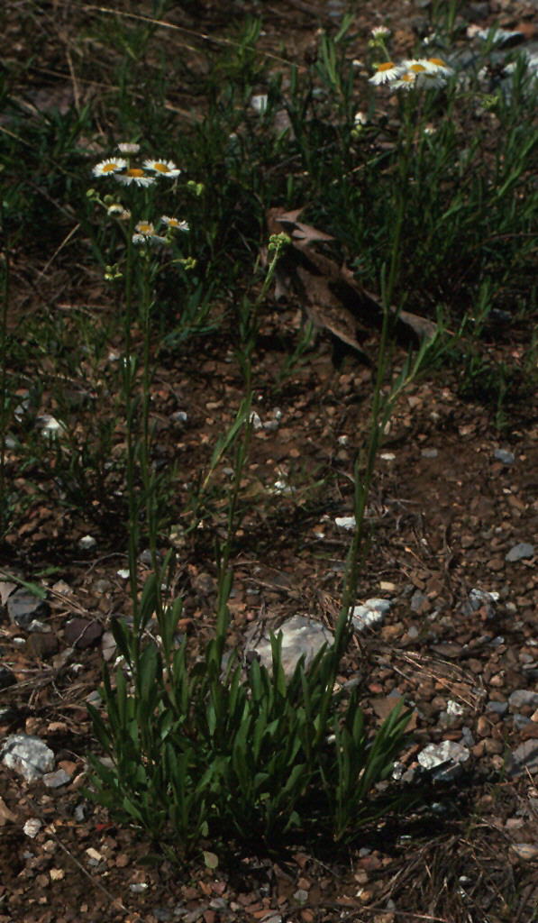
Unless notated otherwise, all photographs were taken in Bibb County by James R. Allison
and copyright 2011. All rights reserved.
Note: images not labeled with a figure number are supplementary to the Castanea
article.
To see captions, allow cursor to hover over thumbnails. To read a
footnote, click
on its superscript in the text.
Edition of January 21, 2011

Vascular Flora of Ketona Dolomite Outcrops in Bibb County, Alabama
JAMES R. ALLISON* and TIMOTHY E. STEVENS**
*Georgia
Department of
Natural
Resources, Georgia Natural Heritage
Program,
2117 U.S. Hwy. 278, SE, Social Circle, Georgia 30025.
**Alabama Department of Public
Health Laboratories,
8140 AUM Dr., Montgomery, Alabama
36124.
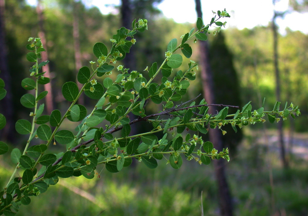
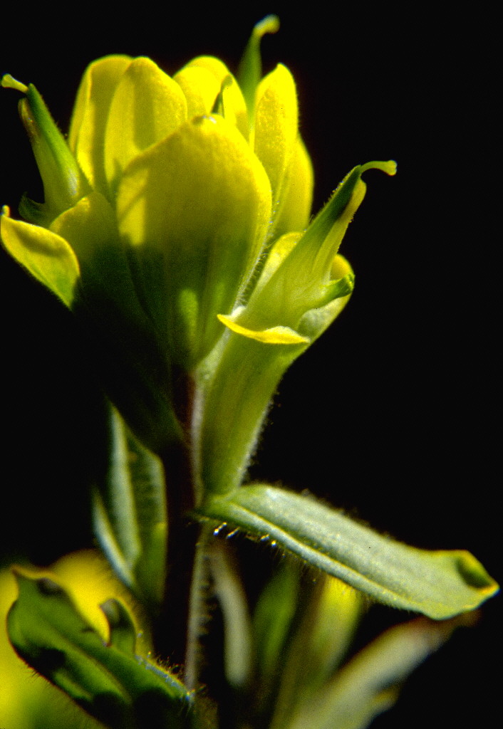
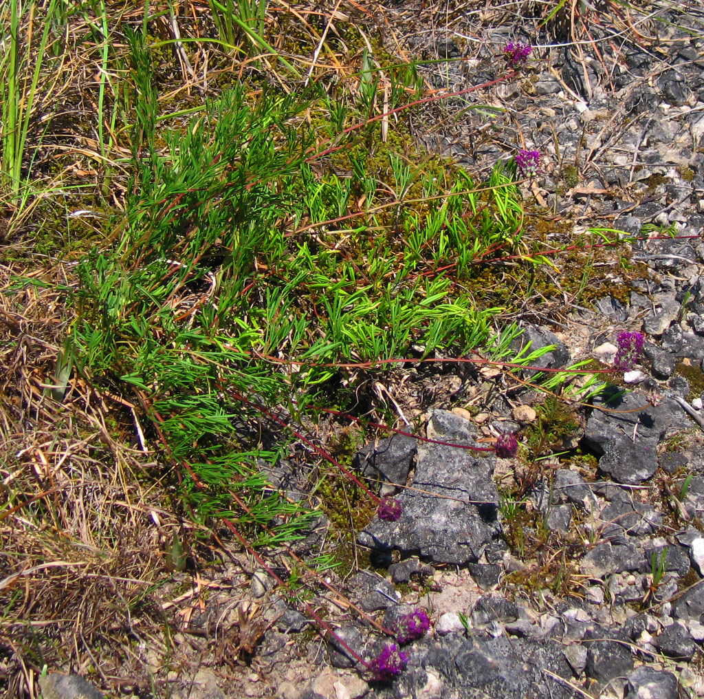
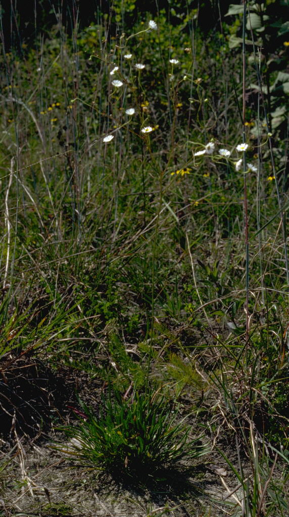
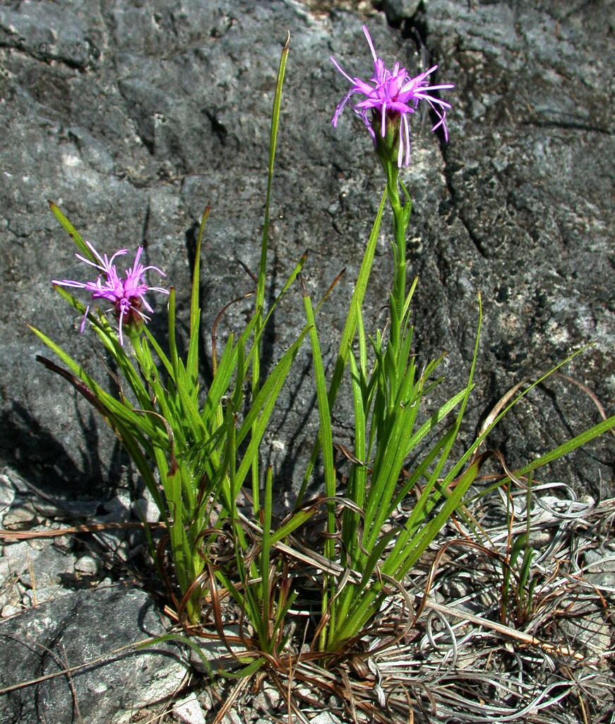
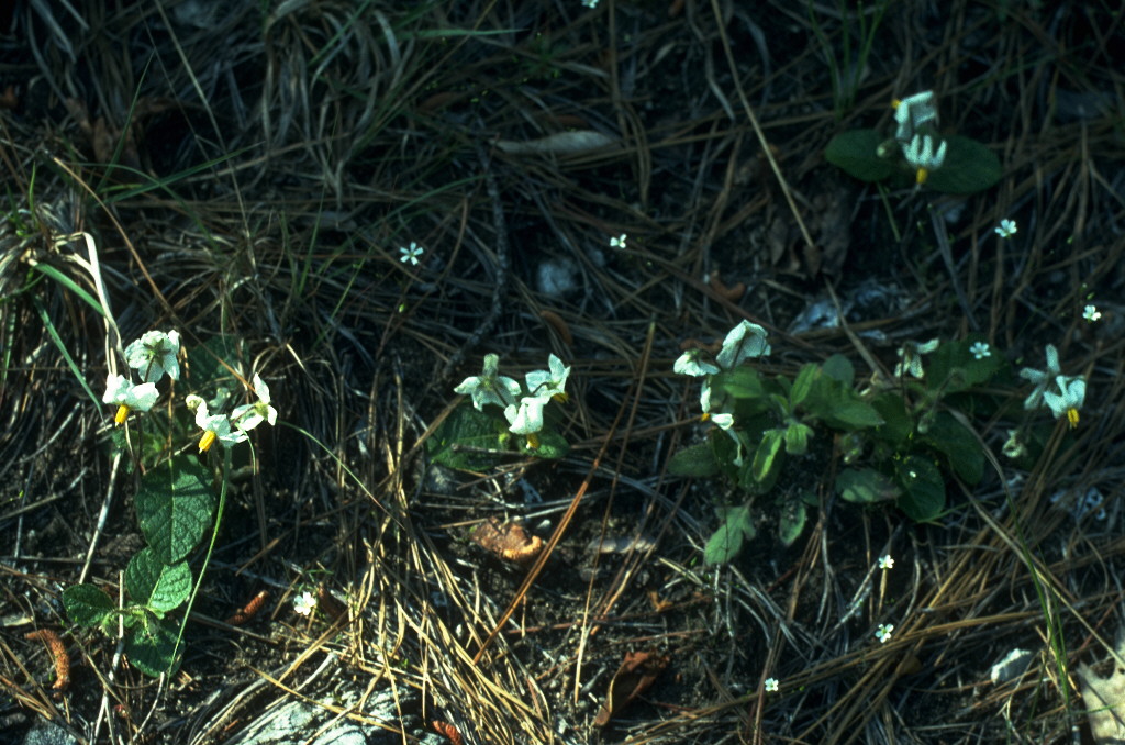
Explorations since 1992 in Bibb County, Alabama, have revealed an extraordinary, undescribed glade community developed over the Ketona Formation, an unusually pure dolomite. Eight new endemic taxa were found: Castilleja kraliana, Coreopsis grandiflora var. inclinata, Dalea cahaba, Erigeron strigosus var. dolomiticola, Liatris oligocephala, Onosmodium decipiens, Silphium glutinosum, and Spigelia gentianoides var. alabamensis. In assessing systematic relationships of the Erigeron and Silphium, two additional undescribed taxa, not of Bibb County, were discerned, E. strigosus var. calcicola and S. perplexum. Seven state records were discovered: Solanum pumilum, last collected in 1837 and presumed extinct; Astrolepis integerrima, disjunct from Texas; Paronychia virginica, bridging a gap between Arkansas and Virginia; Baptisia australis var. australis, Rhynchospora capillacea, R. thornei and Spiranthes lucida. More than 60 plant taxa of conservation concern occur on or near these glades, marking them as one of the most significant reservoirs of botanical diversity in the eastern United States.
The eastern United States has
been well explored botanically. New
species continue to be
described every year, but mostly in difficult groups like Carex
L. and Isoëtes
L., and are usually
"split" out of recognized species. The discovery of endemic plant
communities with multiple
undescribed species mostly occurs in remote regions of South America,
Africa, or Southeast Asia.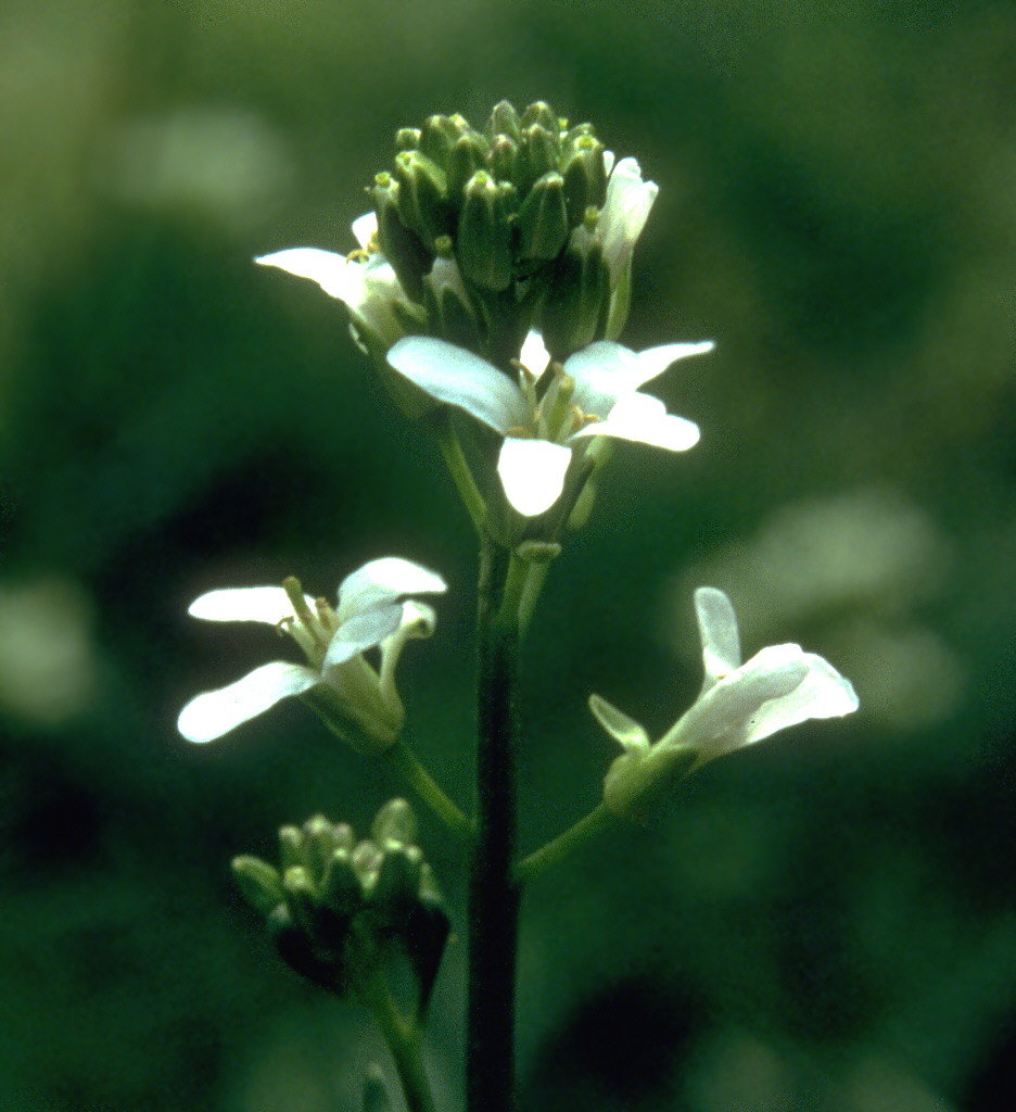

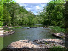
In 1992 the United States Fish and Wildlife Service contracted with the first author to conduct a status survey in Alabama for Arabis georgiana Harper. As a part of efforts to explore comparatively inaccessible habitats, Allison organized a canoe trip in Bibb County, Alabama, with three friends: the second author and Jim and Debi Rodgers of Senoia, Georgia. By the end of the first morning (May 30), canoe travel had led to the discovery of several previously undocumented populations of Marshallia mohrii Beadle & F. Boynt., a federal Threatened species, on rocky places along the banks of the Little Cahaba River.
At
midday, we
noticed a strongly sloping, rocky area dominated by
herbaceous vegetation,
above the right bank of the Little Cahaba River. As we explored the
site, it soon became apparent that
it supported plant communities distinct from the well studied ones on
flat, limestone outcrops ("cedar
glades") in Tennessee, Kentucky, 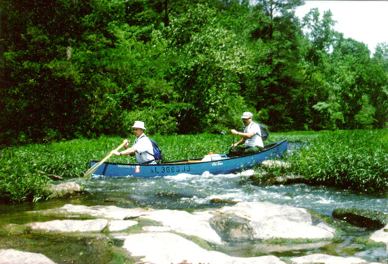 Alabama, and
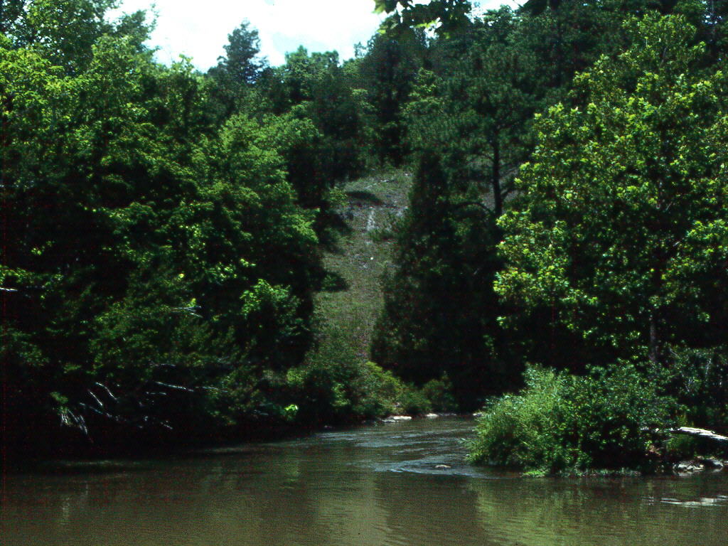 Georgia [see ASB Bulletin, vol. 33, no. 4 (1986),
for a collection of articles on cedar glades, and Castanea,
vol.
59, no. 3 (1994), on
the closely related topic of "barrens" vegetation]. Although some of the woody species we
saw on glades near the Little
Cahaba were typical of calcareous glades and barrens (e.g., Juniperus virginiana L., Quercus
muehlenbergii
Engelm.), there were others that would
have marked this as a distinctive glade
community even in winter, such as
Pinus palustris
P. Mill. and
Sabal minor (Jacq.) Pers., and particularly
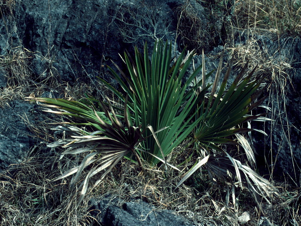
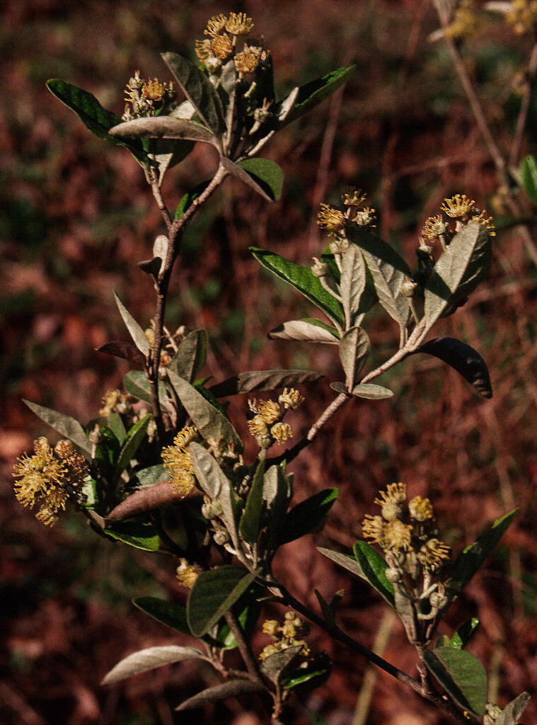
two shrubs in the Euphorbiaceae, Leptopus phyllanthoides
(Nutt.) G. L.
Webster and
Croton alabamensis
E. A. Sm. ex Chapman var. alabamensis.
The herbaceous
component, moreover,
included a surprising number of unfamiliar taxa, along with
recognizable rarities such as
Marshallia
mohrii. It was clear that this
was a natural community that
deserved further study.
Georgia [see ASB Bulletin, vol. 33, no. 4 (1986),
for a collection of articles on cedar glades, and Castanea,
vol.
59, no. 3 (1994), on
the closely related topic of "barrens" vegetation]. Although some of the woody species we
saw on glades near the Little
Cahaba were typical of calcareous glades and barrens (e.g., Juniperus virginiana L., Quercus
muehlenbergii
Engelm.), there were others that would
have marked this as a distinctive glade
community even in winter, such as
Pinus palustris
P. Mill. and
Sabal minor (Jacq.) Pers., and particularly
two shrubs in the Euphorbiaceae, Leptopus phyllanthoides
(Nutt.) G. L.
Webster and
Croton alabamensis
E. A. Sm. ex Chapman var. alabamensis.
The herbaceous
component, moreover,
included a surprising number of unfamiliar taxa, along with
recognizable rarities such as
Marshallia
mohrii. It was clear that this
was a natural community that
deserved further study.

|
|
|
|
|
|
Upon consulting the most
recent statewide Alabama geological map
(Szabo et al. 1988) we
found that the locations of these glades all fell within a particular
mapping unit, Ketona
particular
mapping unit, Ketona ![Detail from Geologic Map of Alabama (Szabo et al. 1988), showing [light maroon] mapped locations of Ketona Dolomite in Bibb County.](GEOLMAP2.JPG) Dolomite. We
discovered most of the localities that were not visible from a canoe by
studying 1:24,000 topographic
maps (on
which glades
often show as irregular white blotches within green areas) or through
examination of infrared aerial photographs. The latter were available
for inspection
at the USDA
Natural Resources Conservation Service office in Centreville, the
county seat. Within regions
on
the
photographs that corresponded to the Ketona Formation, as mapped by
Szabo et al. (1988), we
identified dozens of localities that had a similar appearance
to
that of known glades. By the time we
completed the ground checking of these, we had found approximately 40
sites, defined as outcrops
with characteristic flora and separated from each other by at least 0.2
km. For each glade we
concocted a name and recorded the endemic, rare, or characteristic
Ketona Glade species present.
Dolomite. We
discovered most of the localities that were not visible from a canoe by
studying 1:24,000 topographic
maps (on
which glades
often show as irregular white blotches within green areas) or through
examination of infrared aerial photographs. The latter were available
for inspection
at the USDA
Natural Resources Conservation Service office in Centreville, the
county seat. Within regions
on
the
photographs that corresponded to the Ketona Formation, as mapped by
Szabo et al. (1988), we
identified dozens of localities that had a similar appearance
to
that of known glades. By the time we
completed the ground checking of these, we had found approximately 40
sites, defined as outcrops
with characteristic flora and separated from each other by at least 0.2
km. For each glade we
concocted a name and recorded the endemic, rare, or characteristic
Ketona Glade species present.
PHYSICAL CHARACTERISTICS OF HABITAT
This ecosystem is apparently
restricted to
outcrops in Bibb County, Alabama, of the Ketona
Formation, an unusually pure dolomite of Upper
Upper
 Cambrian
age (Rheams
1992). These are all within
a zone about 18 km long and at most about 0.8 km wide, within the
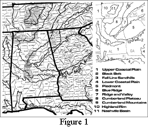
southern "fringe" of the Ridge and Valley Physiographic Province (Figure 1).
Cambrian
age (Rheams
1992). These are all within
a zone about 18 km long and at most about 0.8 km wide, within the
southern "fringe" of the Ridge and Valley Physiographic Province (Figure 1).
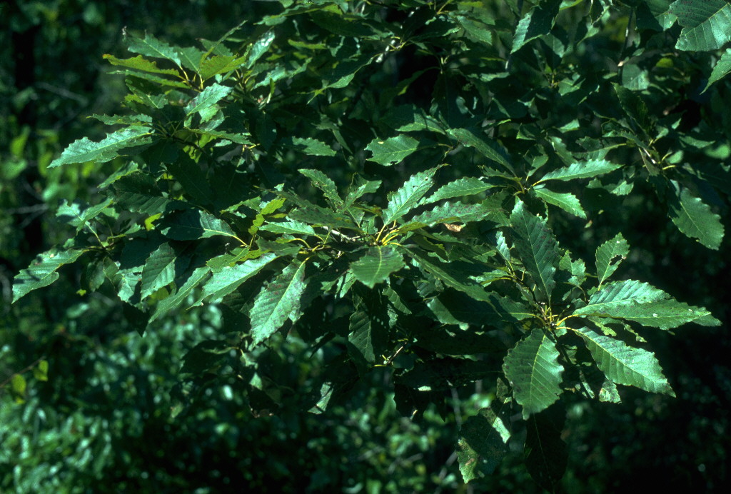
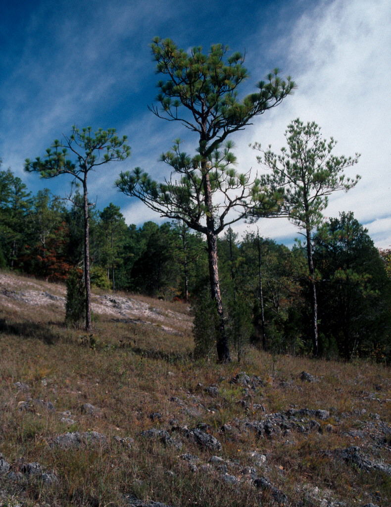
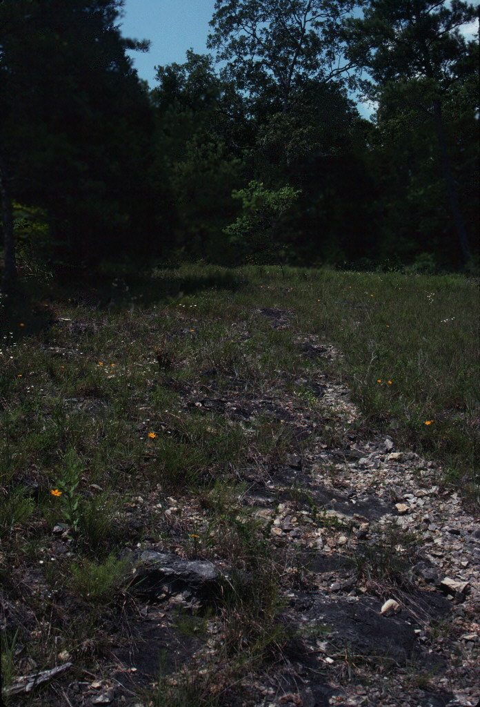
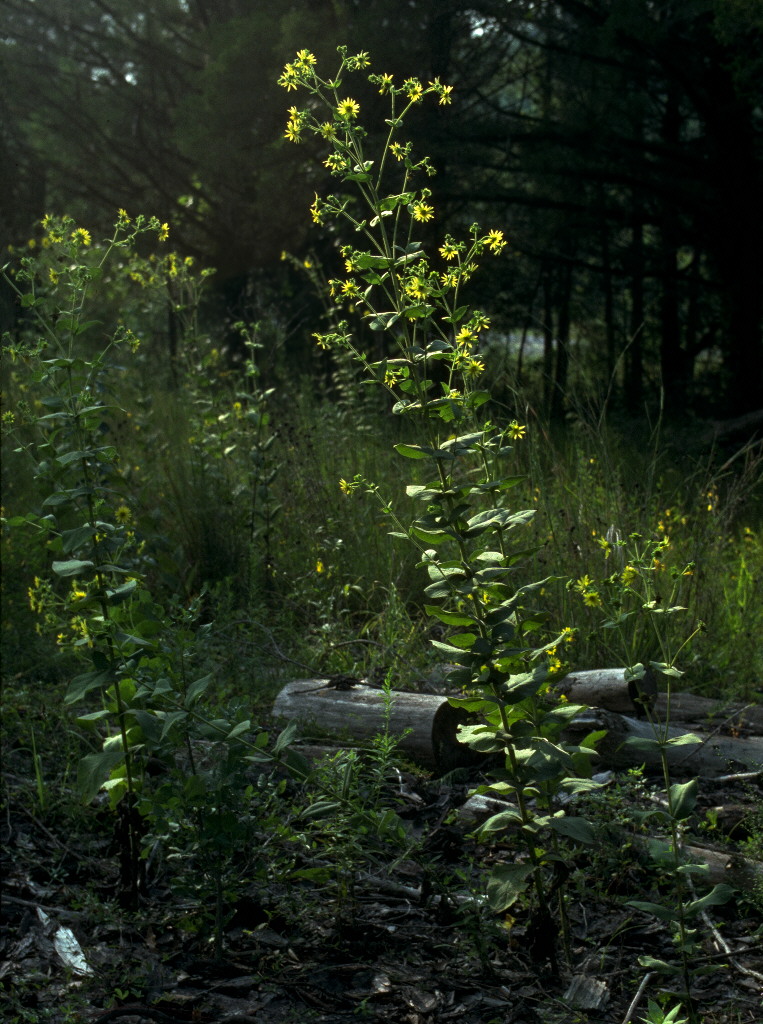
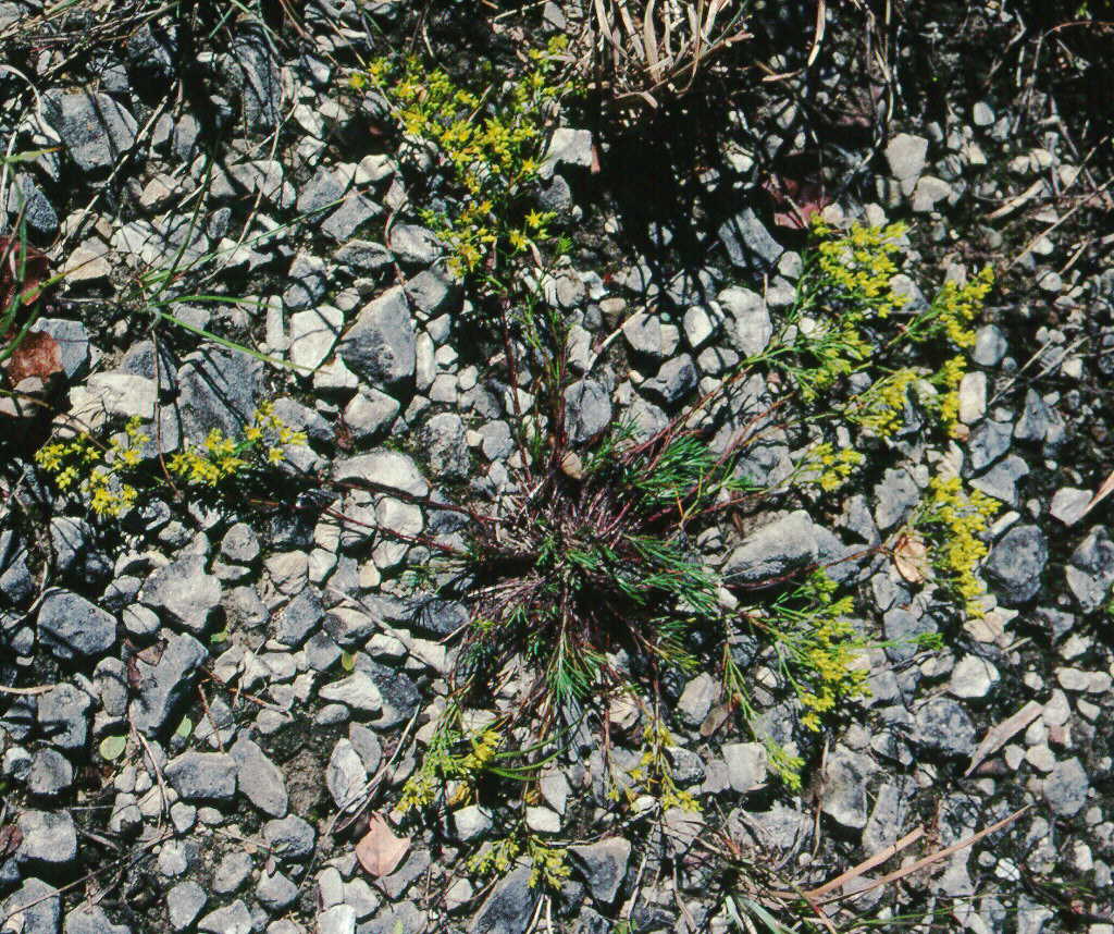
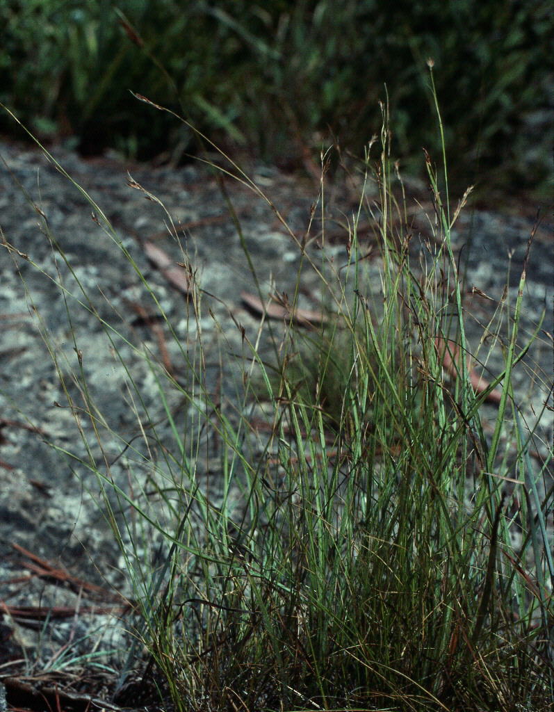
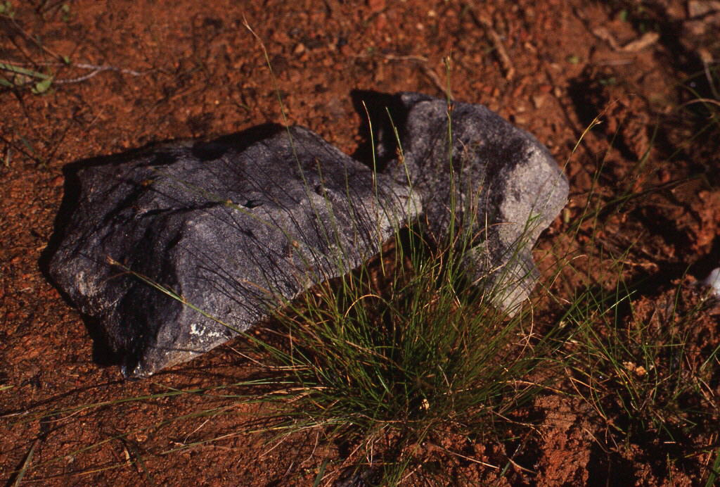
Glades developing on the Ketona Dolomite (Ketona Glades) vary in size from about 0.1 hectare to at least 5 hectares and have a general appearance (Figure 2) resembling the cedar glades developed over limestone or dolomite in Alabama, Georgia, Kentucky, and Tennessee, though they are seldom as level as "classic" cedar glades. The terrain is mostly gently sloping or rolling, but varies from flat to sometimes very strongly sloping. There are patches of exposed bedrock, thin-soiled areas dominated by grasses and other herbaceous vegetation, variously sized islands and peninsulas of woody vegetation where soil has accumulated to greater depth, and marginal ecotones where the glade grades into the surrounding forest. In many areas the bedrock projects above the surrounding surface as low boulders or ledges.
|